Many organizations are being driven to modernize the way they do business. As their customers take advantage of new technological innovations, organizations need to ensure their own operations are keeping up with emerging trends. The utilities industry is no exception to this, and to keep pace with the trends that drive their customers’ day-to-day lives, organizations are utilizing an increasing number of tools and systems, many built atop back-end databases.
In this blog, we’ll discuss how the new RDBMS connector for the Geonexus Integration Platform can help organizations modernize their approach to asset and customer management and what the connector means for the future of Geonexus’ integration solution.
Background
Over the last ten to fifteen years, more and more systems have become necessary for daily operations within the utilities industry. This increase in systems has led to a dramatic increase in the amount of data being produced. As systems and data have increased, so too have the challenges caused by data silos. Data silos are when important data is spread out between systems that connect together poorly (if at all), which can create unnecessary and time-consuming problems. These problems may include poor decision-making and operational slowdown caused by teams working from siloed systems. In an effort to avoid those problems, there is now an industry-wide desire to unify data across multiple systems.
The Geonexus Integration Platform allows users to integrate data from multiple systems without fear of data loss, corruption, or version lock. The platform is a middleware, low-code/no-code integration solution that works out of the box (OOTB) with many of the most popular EAM systems on the market, including Esri ArcGIS, IBM Maximo, SAP, HxGN EAM, and more. Now, in addition to those OOTB solutions, the Geonexus Integration Platform can connect to any system built on top of RDBMS.
What does the RDBMS connector do?
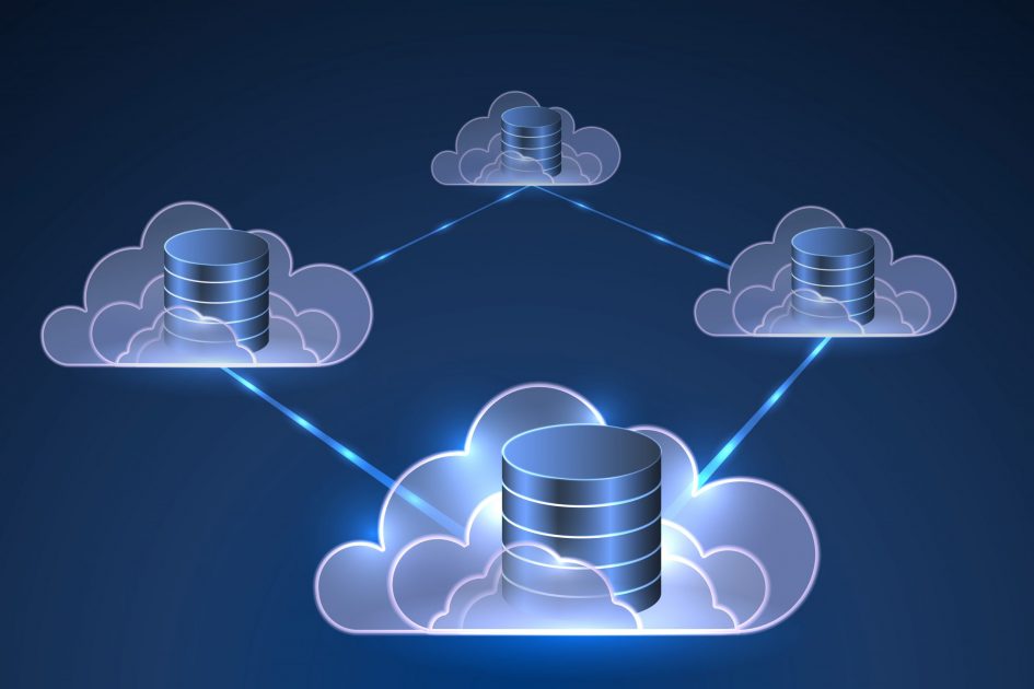
Many existing systems used for work and asset management, compliance management, customer support, and outage management are already built on top of databases. The RDBMS connector allows the Geonexus Integration Platform to integrate RDBMS-based systems to our already-extensive list of connectors. The RDBMS connector can help organizations that depend on systems with an underlying database integrate their data without making major changes or compromises to their workflows.
As transformation projects continue to become the primary focus of utility organizations, the demand for more flexibility in integrations has grown; the RDBMS connector is a major step towards answering this demand. Using the new connector, your organization will be able to integrate data from industry leading asset management and GIS systems like IBM Maximo, SAP, and Esri to homegrown or industry-standard RDBMS-based solutions and use that integration to improve operational outcomes by unifying data across the enterprise. And, as your integration needs expand to additional systems, the increased flexibility will broaden your integration options in the future.
The Future of RDBMS and the Geonexus Integration Platform
More and more systems and organizations have grown to require integration solutions in recent years, and the new RDBMS connector is the first step in expanding upon the system-specific integrations like Geonexus’ existing library of connectors for Esri, IBM Maximo, HxGN EAM and more. Expanding beyond point-to-point integrations will also allow Geonexus to decouple its software from the ArcObjects API and open the door to a more system-agnostic approach to integration in the future.
OOTB connectors like the Geonexus Integration platform used to be outliers in the world of system integration; now they’re quickly becoming the standard. But for an OOTB solution to be good, it needs to be more than a basic set of tools. There are three categories that set OOTB connectors like Geonexus’ apart from custom solutions.
By bringing these three attributes together, the Geonexus Integration Platform gives you complete control over your integration, streamlines the process, and ensures the integrity of your data no matter the size of your workload. With the new RDBMS connector, the platform can help you integrate your data with more systems than ever before.
Conclusion
The new RDBMS connector for the Geonexus Integration Platform opens the door to new integration possibilities for organizations looking to connect systems built on top of RDBMS to Esri, IBM Maximo, and more. If you’re looking to maximize the potential use cases for data in an existing RDBMS, Geonexus can help.
To see what the Geonexus Integration Platform can do for your organization, contact us and schedule a demo of the platform. Additionally, check out Geonexus’ customer case studies to see how the platform has helped other organizations make the most of their data.