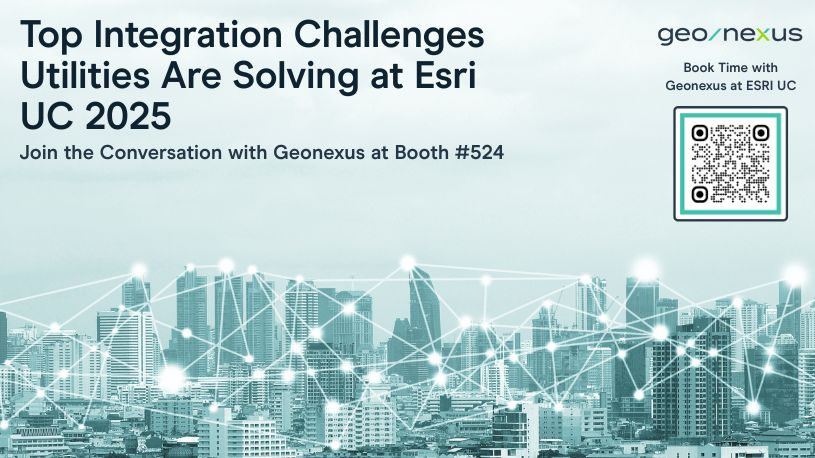
Every day at Geonexus, we talk with utilities and other asset-intensive organizations about the real-world challenges and opportunities they face in geospatial integration. As we headed into the 2025 Esri User Conference, we were excited to bring these ongoing conversations to the Expo (Booth #524)—and we’d love for you to join us there next year, to discuss your current integration needs and challenges.
Below are some of the topics that come up most often in our discussions. If any of these resonate with you, or if you have your own integration story to share, please stop by at Esri UC 2026. We’ll be there to listen, learn, and collaborate.
Why it comes up:
Many utilities are navigating the move from the Geometric Network (GN) to the Utility Network (UN). This is a big step, and there are questions about how to keep the GN and UN in sync during the transition, manage data replication, and ensure a smooth migration.
Another area of focus in these projects is finding efficient ways to manage or replace existing integrations that will no longer be viable once you have moved to the UN.
Why talk about it at the booth:
If you’re planning or in the midst of this migration, let’s share experiences and strategies for minimizing disruption and maintaining data integrity. We’re eager to hear what’s working for you—and to offer insights from other organizations on the same journey.
Why it comes up:
The need to connect GIS with SAP, IBM Maximo, Oracle, Hexagon, Hitachi ABB, and other systems is almost universal. Each organization has its own unique landscape, and finding the right approach is a frequent topic of discussion.
Why talk about it at the booth:
Whether you’re facing integration hurdles or just starting to explore possibilities, let’s talk through your specific environment. We can share lessons learned and creative solutions from across the industry.
Why it comes up:
Integrating Esri with SAP, especially as organizations move to S/4HANA, is a priority. This year, we’re proud to say the Geonexus Integration Platform is SAP Certified—a topic that’s generated a lot of interest.
Why talk about it at the booth:
If you’re wondering what SAP Certification means for your projects, or how it can simplify your integration path, let’s chat. We’re happy to explain the benefits and discuss how others are leveraging this certification.
Why it comes up:
Large utilities often face major upgrades—moving to SAP S/4HANA, IBM Maximo MAS 9, or new GIS platforms. The big question is: how do you keep integrations running and data flowing during these transitions?
Why talk about it at the booth:
If you’re planning an upgrade, we’d love to hear your approach and share what we’ve seen work well for others. Let’s discuss how to reduce risk and maintain business continuity together.
Why it comes up:
Bringing together GIS and ADMS is a key step for grid modernization and operational efficiency. We’re often asked about best practices for aligning data and workflows across these systems.
Why talk about it at the booth:
If you’re exploring this integration, let’s discuss your goals, challenges, and the standards that can help. We can share real-world examples and learn from your perspective.
Why it comes up:
Utilities want to do more with their customer data, but syncing CIS and GIS can be tricky. We regularly talk about how to enable near real-time data sharing and what it means for customer service and field operations.
Why talk about it at the booth:
If you’re looking to unlock more value from your CIS data, let’s brainstorm together. We’re interested in your use cases and can offer insights from similar projects.
SAP Certification—A Milestone We’re Proud Of
This year, the Geonexus Integration Platform became SAP Certified. It’s a topic we’re excited to discuss, because it means:
Features That Keep Coming Up in Conversation
See It for Yourself: Live Demos at Esri UC 2026
We’ll be offering live demos throughout Esri UC.
Want to see how the Geonexus Integration Platform could work in your environment?
Link to schedule a live demo coming soon!
If any of these topics are on your mind—or if you just want to talk integration—please add Geonexus to your conference plan. We’re looking forward to some great conversations!
We would love to show you what our Geonexus Integration Platform can do for you and your team. Submit your information, and we’ll be in touch.