Geonexus
GeoNexus

The Esri Integration

The Esri Integration Connector allows organizations to synchronize data between Esri databases.

It communicates with ArcGIS systems via vendor-supported Application Programming Interfaces (APIs) and ArcObjects. Through a full-compare approach and reporting, the Esri Integration Connector ensures integrity of enterprise data, allowing it to be viewed in either database without requiring viewing at the source. Its no-code approach reduces time and money spent on integrating systems.

Features & Benefits:

  • Ensures the integrity of enterprise data through full compare approach
  • Facilitates scheduled and on-demand synchronization
  • Allows for multiple ArcGIS connection options: GeoDatabase, ArcGIS Online, ArcGIS Server, ArcGIS Portal
  • Provides multi-system capability across enterprise databases
  • Transforms data (value lists, calculated fields, geotransform)
  • Offers comprehensive reporting
  • Supports synchronization between the Geometric Network and Utility Network
  • Supports feature classes and non-spatial tables as well as spatial and non-spatial layers
  • Full support for Relationship Classes and Utility Network Associations
  • Support for versioned and non-versioned tables, feature classes and layers

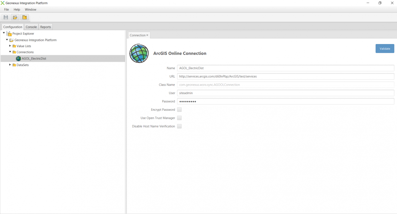
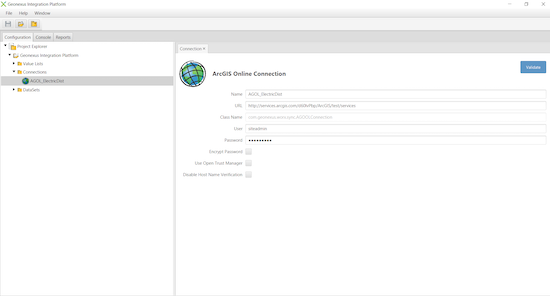
Connection configuration

An example configuration of a connection to ArcGIS Online.
Enlarge Image
Enlarge Image

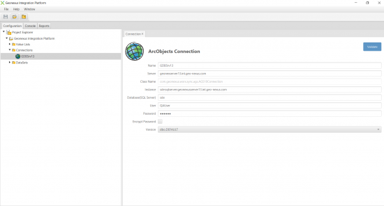
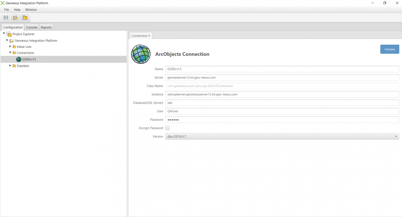
Connection configuration

An example configuration of a connection to a geodatabase.
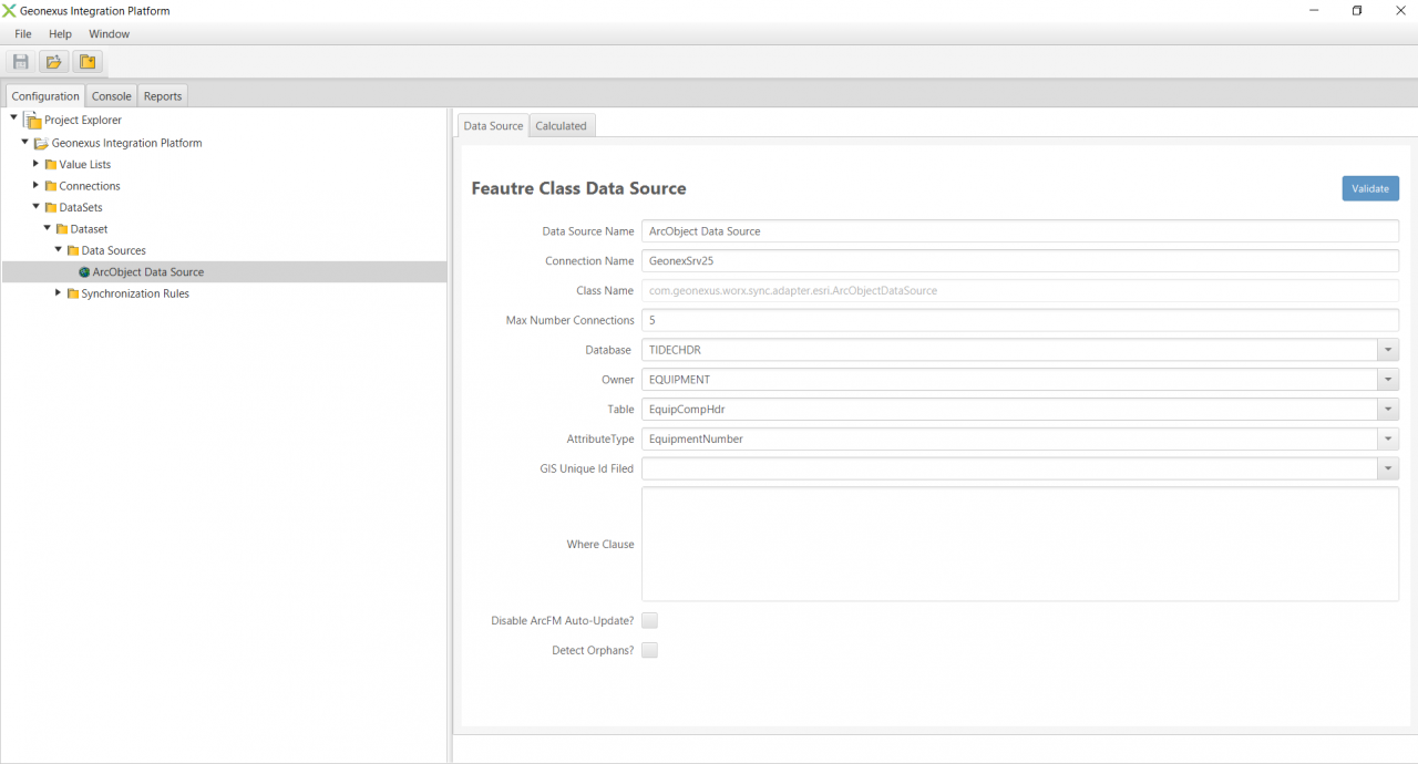
Data sources

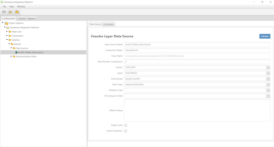
An example configuration of a feature layer data source.
Enlarge Image
Enlarge Image

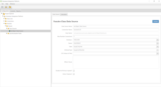
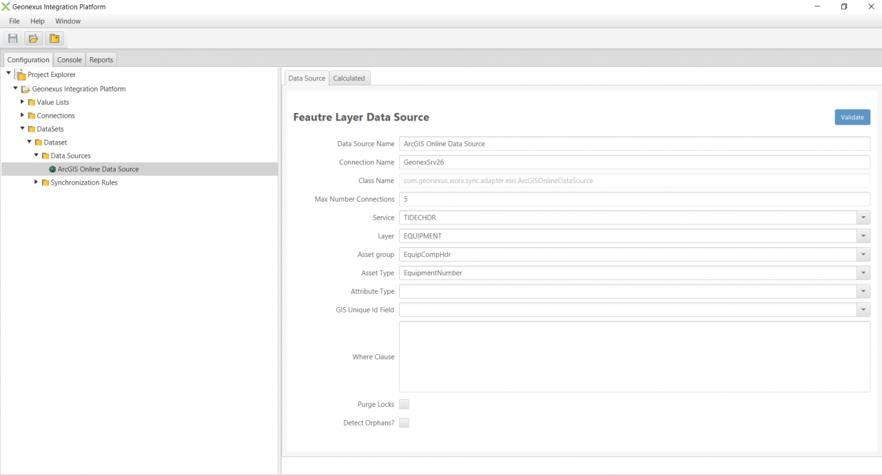
Data sources

An example configuration of a feature class data source.
See the Geonexus Integration Platform in Action!

We would love to show you what our Geonexus Integration Platform can do for you and your team. Submit your information, and we’ll be in touch.

"*" indicates required fields

Contact Us